
PDR Acres
What does this measure?
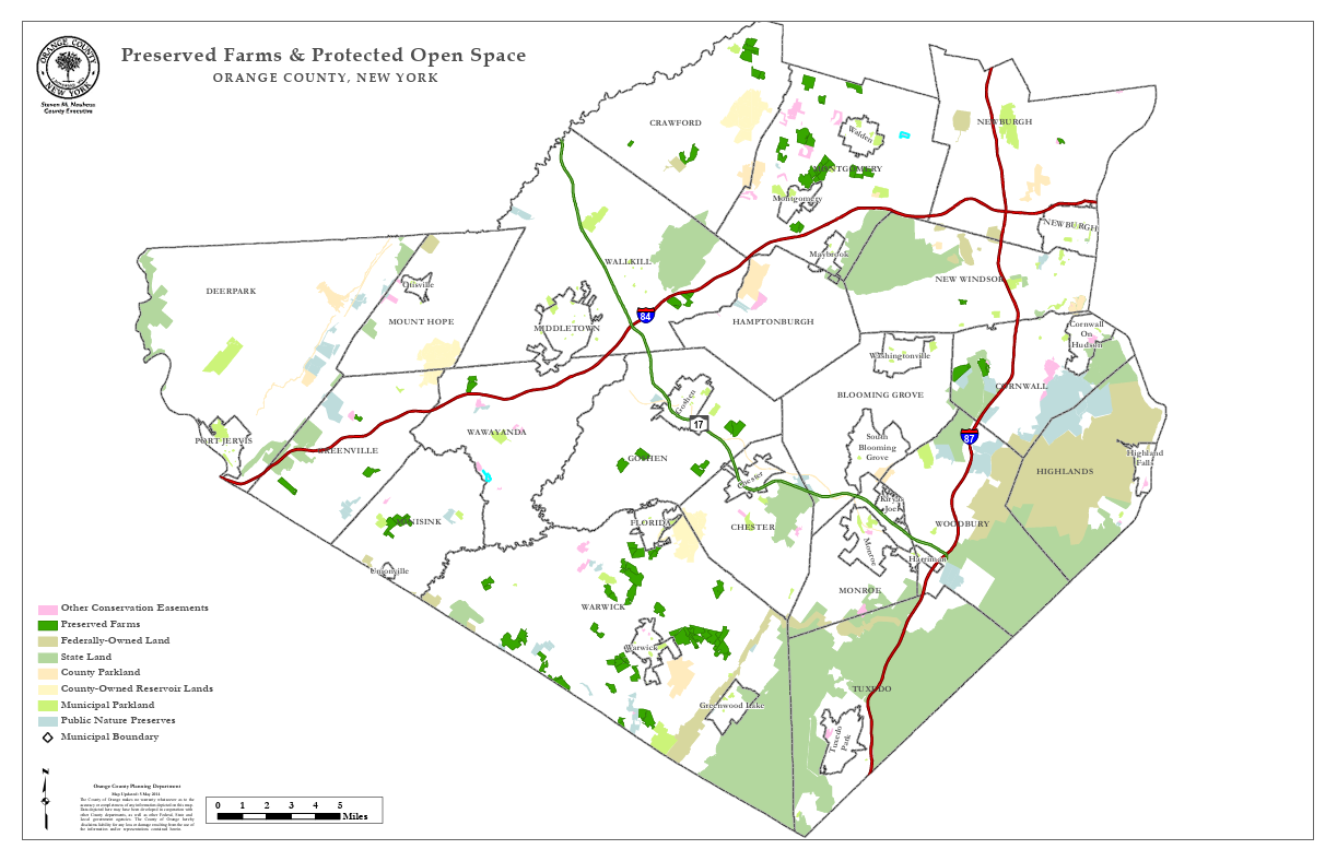
This map shows the location and distribution of preserved farms and protected open space in Orange County, New York. It identifies various types of preserved land, including conservation easements, preserved farms, federally owned land, state land, municipal parkland, county-owned reservoir land, and public nature preserves. The map also outlines municipal boundaries to show how preserved spaces are spread across different towns.
Summary Statement
Preserved farms and open spaces are widely distributed across Orange County, with large concentrations in Warwick, Goshen, Montgomery, and Crawford. Preserved farms (in dark green) and other conservation easements (in light purple) are visible in many rural areas, while state and municipal lands are more prominent in the southern and eastern parts of the county. Warwick stands out with one of the largest continuous areas of protected land. The map reflects a strong commitment to land conservation and farmland protection throughout the county.
Source
https://warwickinfo.net/farm-markets-farms-warwick-ny-vernon-nj-2/